

Solar superstorm shifted US GPS data by 33 feet coast to coast
A solar superstorm threw US GPS off by up to 33 feet, revealing an atmospheric glitch never seen on this scale.
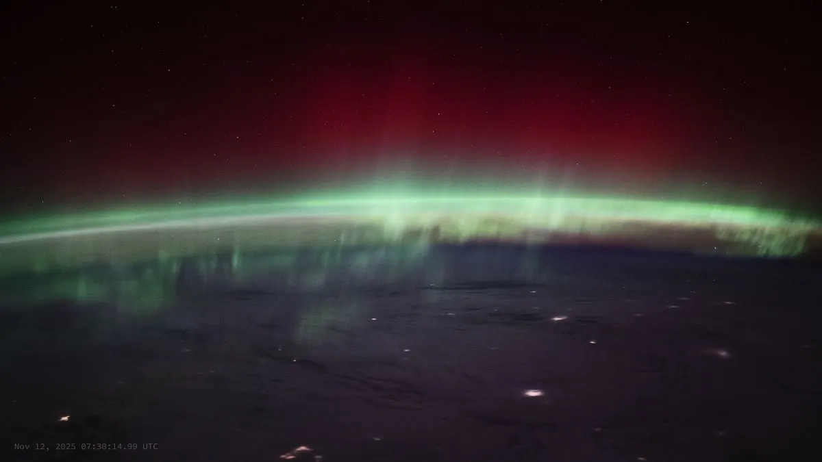
In November 2025, massive solar eruptions slammed into Earth's upper atmosphere, creating vivid auroras and roiling the ionosphere across North America. Researchers led by space physicist Endawoke Yizengaw of The Aerospace Corporation analyzed ground network data and found a coast-to-coast band of atmospheric distortion spanning the continental US. As radio signals passed through this turbulent layer, positioning accuracy degraded nationwide, shifting ground coordinates by more than 10 meters in some areas.
Why it matters: Precision location data powers autonomous vehicles and automated farm equipment. Shifts of even a few feet can throw off self-driving lanes or precision agriculture, which lost an estimated $500 million during a similar storm in May 2024.
Here's the gist of how it works: think of an old, uneven glass window pane. When GPS signals pass through a turbulent ionosphere—a phenomenon known as amplitude scintillation—the radio waves distort like light through wavy glass. While this usually happens near the poles, the 2025 storm pushed the effect deep into mid-latitude skies across North America.
The US dodged massive farm losses only because the storm hit in November outside planting season—a stroke of pure luck we can't count on next time.